At the Bottom of the Lake
SUMMARY: Exploring the drained Lexington Reservoir and 55-year-submerged structures.
Lexington Reservoir has been drained for repairs for a while, but with the lack of rain enhancing the effects, it's lower than it has been at any time (except for once or twice) in the 57 years since the dam was built, drowning the old towns of Lexington and Alma and the original Highway 17 route.
Tika, Boost, and I went exploring. I took a couple hundred shots, as usual, but here are the key ones for Taj MuttHall. Others might be posted elsewhere someday.
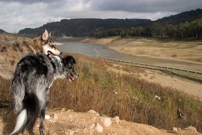
We cut down one side of the reservoir to try to find the old town of Alma. Here, we're about halfway down into what would normally be underwater. The dam is barely visible up behind Tika.
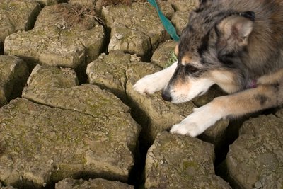
I didn't see anything likely for Alma. The thickly laid adobe mud silt has cracked amazingly as it dries. These crevasses are about a foot deep, with just a bit of water still lurking at the bottom. Who knows what could be hidden beneath it.
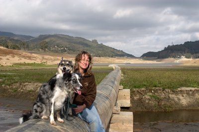
But whatever the pipe is that runs along the bottom of the reservoir (and, beyond it, down along the trail to Los Gatos), it made a picturesque spot for us to have our photo snapped by a convenient passerby (and, yes, there were a bunch of people wandering around the bottom of the dry lakebed, even on a cool Monday morning; the article in the Mercury News this weekend probably drew 'em out like it pulled me).
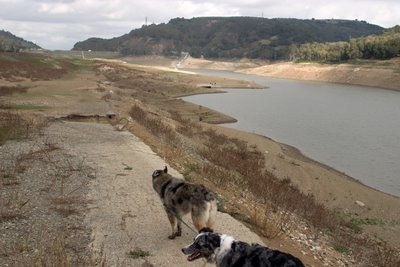
We easily found the road bed of the original Highway 17, most of it silted over; the current 17 runs further up along the side of the valley around the perimeter of the [full] reservoir. All this water you see is misleading; it's just a dribdrab of water in one tiny part of the lakebed just before the dam.
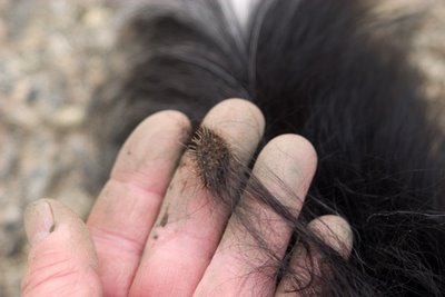
Turns out that the one plant that has grown up extensively all through the empty lake bed in the year it has been drained is this annoying burr plant, which was just exactly the height of the dogs and covered with burrs from ground to 2 feet up, so it could conveniently embed itself in Boost's ears, tails, feet, armpits, and so on. Tika's shorter, denser, straighter fur avoided picking up any at all, but they were still the perfect size to fit in that space among the pads of both of the dogs' feet. I stopped every few minutes to pull the latest accrual out from all of their poor feeties.
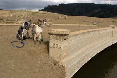
There's an obvious exit ramp going down from old Highway 17, across a 1926 bridge and into what used to be the town of Lexington. You can kind of see how deeply the silt fills most of the bridge; it has just eroded away at the ends while the lake has been drained
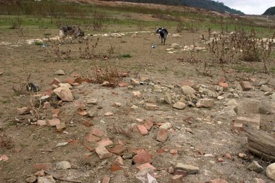
Found just a few old foundations from Lexington buildings, not much at all. There might have been more but I was running out of time.
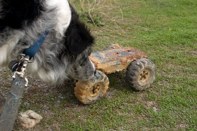
We found an assortment of artifacts, none of which I'm sure had any value at all but were of passing interest to us explorer types.
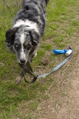
We finally headed back towards the car along a path that might or might not be submerged when the reservoir is at its peak. The dogs were on leash the entire trip, as required by the park.
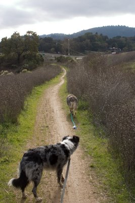
Most of the time, someone was even holding onto the leashes.
 Complete list of labels


3 Comments:
Cool. Sounds like a neat outing. I love local history stuff like that. I once found an 1884 penny while digging through the soil of a community garden plot in downtown Ottawa and thought it was the coolest little find.
That is very cool. Thanks for sharing it all. Love that stuff...
What a great place to explore!
Post a Comment
Links to this post:
Create a Link
<< Home